HIKING
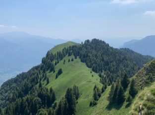
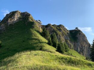
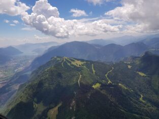
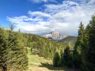
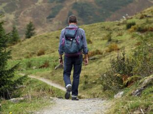
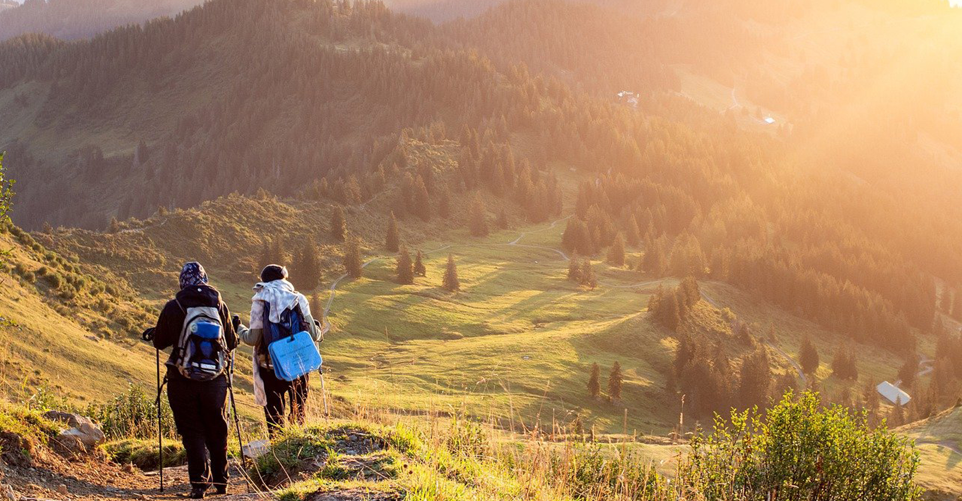
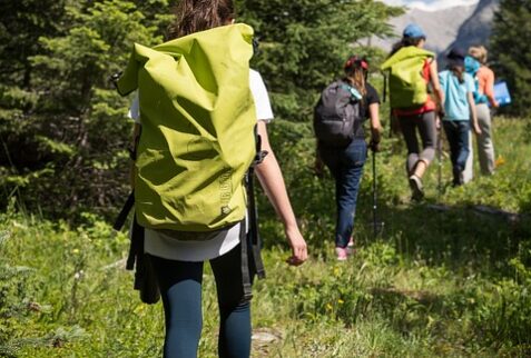
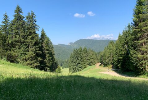
The Altopiano del Sole is the ideal place for walks, excursions and hikes, even challenging ones, immersed in unspoiled nature and always in total safety thanks to the paths marked with white and red Italian Alpine Club signs. Hiking on the Altopiano del Sole has a particular charm, in fact the mountains that surround it are a real paradise for hikers, both for the more expert and for beginners, the choice is really ample: you can find challenging routes and at high altitude (even for several days), as well as easy itineraries that can be enjoyed by everyone, even by children, and the local Italian Alpine Club organizes various trips, even for tourists, in all seasons, but especially in the summer.
However, whatever level you choose, the green valleys of Valle Camonica and the imposing peaks will make your day. Your four-legged friends are always welcome, however, to protect the wild species you may encounter, dogs must be kept on a leash.
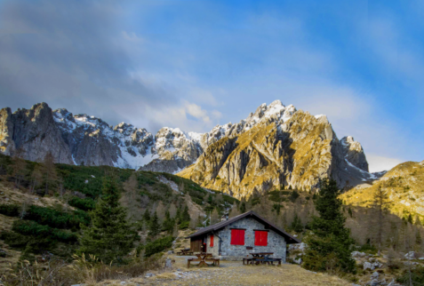
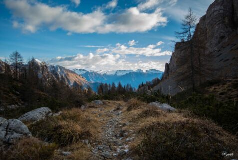
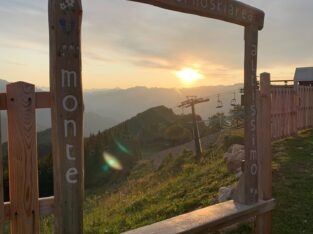
Borno, which is the heart of the Valle Camonica, is the perfect starting point for beautiful walks and hikes, the many refuges and the characteristic Malghe (mountain farmsteads) present at high altitudes await you so you can discover and taste the culinary tradition of the Valley, made of simple, genuine and tasty products.
During your excursion you will be amazed by the variety of contrasts: in fact, you will find Mediterranean vegetation downstream, along the ancient watercourses, streams, and then alpine environments, climbing up to the 2500 meters of the highest peaks.
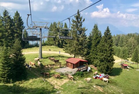
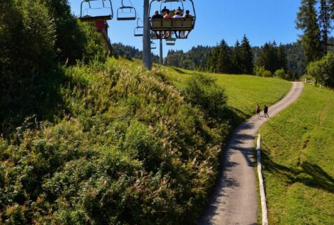
The main itineraries, which can be enjoyed by all, are:
- Borno – Ossimo Superiore: 45 minutes.
- Borno – Ossimo Inferiore: 45 minutes.
- Borno – Annunciata: 45 minutes.
- Borno – Loc. Dassine: 30 minutes.
- Borno – Loc. Borno – Loc. Lazzaretti and Fonte Pizzoli: 50 minutes (up to Loc. Corna Rossa the road is tarmacked, therefore you could go by car).
- Croce di Salven – Loc. Prave: 60 minutes. The road is tarmacked, therefore you could go by car.
- Ogne – Loc. Triangolo – Croce di Salven: 30 minutes.
- Plai – Malga Corvino – Fontana di Pradazzo – Malga Guccione: 30 minutes.
The hiking trails are:
- Borno – Dassine – Balestrini – Malga Mine – Pagherola: 2 hours, 650 meters difference in height, 5 km.
- Borno – Lazzaretti – Fonte Pizzoli – Balestrini: 1:15 hours, 300 meters difference in height, 3.3 km.
- Borno – Lazzaretti – Plai – Pian d’Aprile – Pagherola – Altissimo: 2:45 hours, 640 meters difference in height, 5.3 km.
- Ogne – Triangolo – Malga Corvino – Path Restei – Val Sorda: 1:45 hours, 450 meters difference in height, 4.7 km.
- Croce di Salven, Val Sorda, Prato Lungo, Malga Guccione, Monte Altissimo: 3 hours, 600 meters difference in height, 7.6 km.
The hiking trails for experts are:
- Monte Arano – Laeng refuge – Pizzo Camino: 2 hours, 731 meters difference in height, 4 km.
- Malga Moren – Cima Moren: 2.30 hours, 823 meters difference in height, 3.7 km.
- San Fermo Hut – Costone Pass – Corna Busa Pass – Varicla Pass: 3.30 hours, 300 meters difference in height uphill and 340 downhill, 6.7 km.
Informazioni in breve
Numero sentieri dell'Altopiano del Sole
Difficoltà Alta (EE) :
Difficoltà media/semplice (E) :
